Historical Tax Map
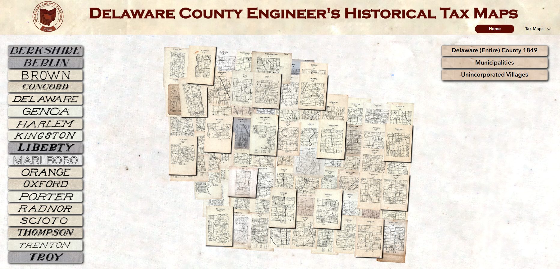
Click on the Map above to use the Historical Tax Map.
The maps are overlaid to help users view how properties have changed over time by comparing different years. The map years are estimated.
You can find areas of interest by zooming and panning the map layers or searching by address, parcel number, or current owner name. Layer visibility is automatically toggled at different zoom levels for clarity. The map is for viewing only; to access current property information, use the County Auditor’s GIS.
The maps may include distortions, such as shifted, misaligned, shrunk or stretched properties and features, which may result from scale discrepancies and limited precision in the original drawings, and limitations of georeferencing process. GIS layers are added to assist users in identifying properties.
The Information shown on these maps are not to be used in place of legal description and/or survey records for any legal determinations. For questions or concerns regarding this application please contact the Delaware County Map Department at (740) 833-2450.